Submitted by whitemice on Sun, 05/04/2025 - 12:18
The municipal agenda for the Planning Commission meeting on 2025-05-08 is 👉here👈
Due to the amount of public engagement this meeting has been reduced to a single agenda item. Other projects have been bumped to a subsequent meeting; mostly to May 22nd.
1050 Leonard St NW
UPDATE 2025-07-26: This tabled agenda item returns to the Planning Commission on the 2025-08-14 agenda.
Submitted by whitemice on Sun, 04/20/2025 - 08:45
The municipal agenda for the Planning Commission meeting on 2025-04-24 is 👉here👈
Text Amendments
There are two minor text amendments proposed to the zoning ordinance. Both would take what are currently exceptional cases and place them under administrative review.
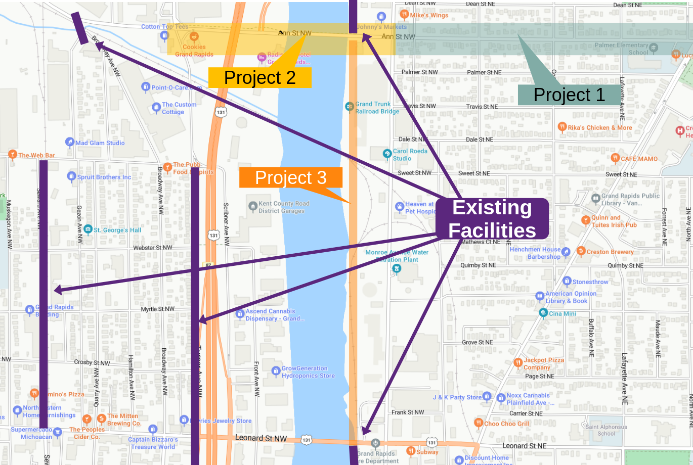
Submitted by whitemice on Sun, 04/06/2025 - 09:00
Each year, or at least most years, the Planning Department creates a report summarizing the activity and highlights of the year, including zoning text amendments, in-progress plan development, and related information. Provided here is an index of the recent Planning Department reports, starting in 2019 so as to have a pre-pandemic baseline. No report for 2020 is available. Below are tables to easily see the years in comparison.
Submitted by whitemice on Tue, 04/01/2025 - 07:21
Submitted by whitemice on Mon, 03/17/2025 - 06:45
County level population estimates for 2024 are now available. All three counties which contain any part of the Grand Rapids UrbaniZed Area [the UZA] grew. Municipal population estimates have not been released. Will they be? Who knows.
Submitted by whitemice on Mon, 03/10/2025 - 12:00
Submitted by whitemice on Thu, 03/06/2025 - 10:14
Pages